
A Continent of Contrasts
Australia stretches across 7.7 million square kilometres, encompassing some of Earth's oldest landforms and most unique ecosystems. From the rust-red interior to the vibrant coastal regions, every landscape tells a story millions of years in the making.
Understanding this geography isn't just about memorising facts. It's about connecting with the forces that shaped a continent isolated from the rest of the world for over 45 million years.
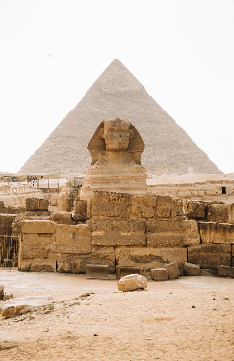
The dramatic coastline where land meets the Pacific Ocean
The Geological Foundation
Most of Australia sits on the Australian Plate, one of Earth's fastest-moving tectonic plates. This movement, roughly seven centimetres northward each year, has profound implications for the continent's geological activity and future landscape evolution.
The Great Dividing Range, stretching over 3,500 kilometres along the eastern coast, represents one of the world's longest mountain chains. Yet unlike the dramatic peaks of the Himalayas or Andes, these ancient mountains have been worn down by hundreds of millions of years of erosion.
Climate Zones and Biodiversity
The continent spans multiple climate zones, from tropical rainforests in the north to temperate regions in the south. The interior, dominated by arid and semi-arid conditions, covers approximately 70% of the landmass.
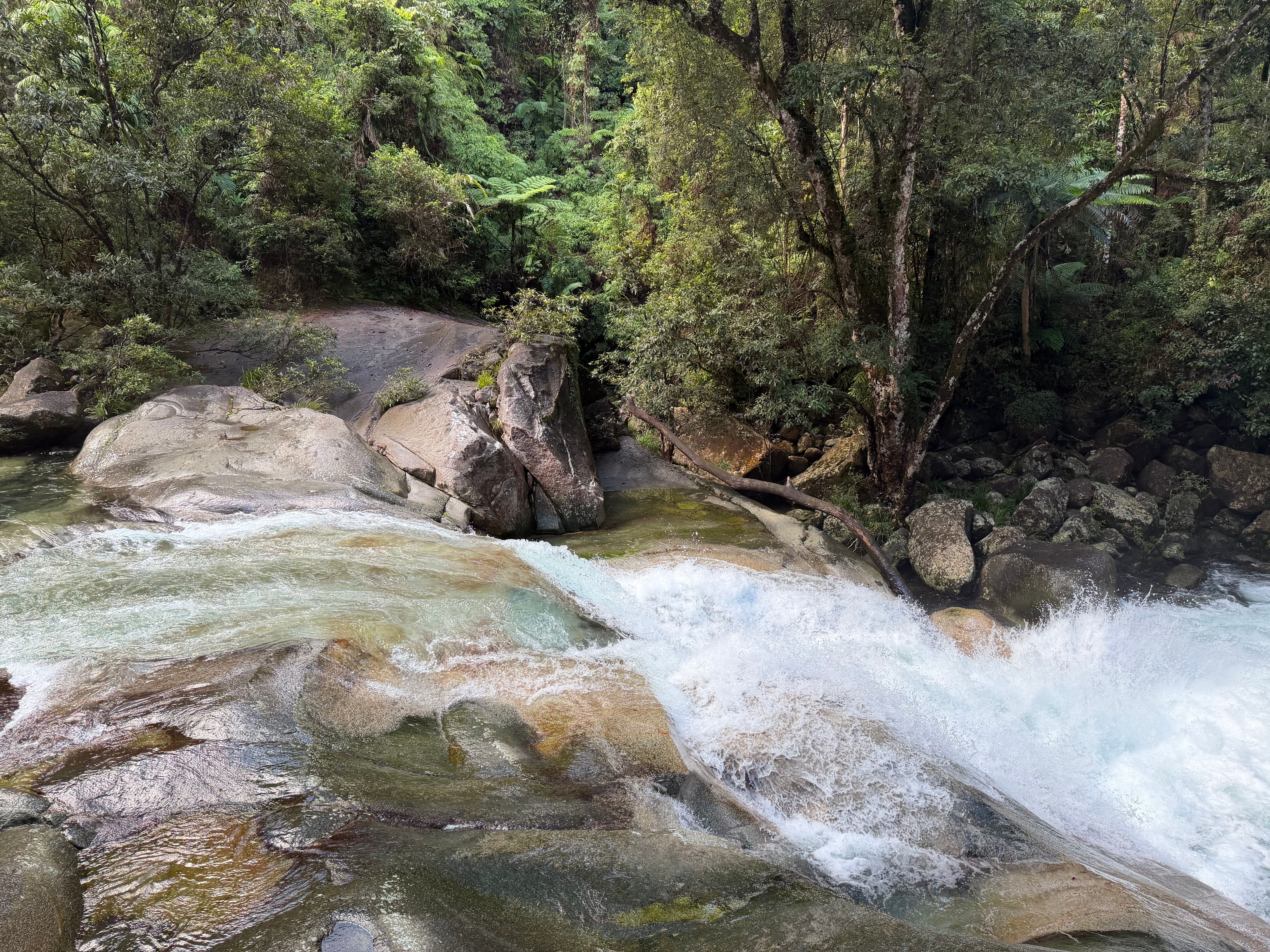
Tropical rainforest ecosystems in northern Australia
This climatic diversity creates distinct biogeographic regions, each hosting species found nowhere else on Earth. The geographic isolation that began with Gondwana's breakup allowed unique evolutionary pathways that continue to fascinate scientists worldwide.
Water availability shapes everything. The Murray-Darling Basin, Australia's most significant river system, drains one-seventh of the continent and supports both agricultural productivity and ecological diversity in what would otherwise be inhospitable terrain.
Why Geographic Literacy Matters
Understanding Australian geography extends beyond academic interest. It informs critical decisions about resource management, urban planning, disaster preparedness, and environmental conservation.
Our programs help students, educators, and enthusiasts develop deeper connections with the physical world around them. Whether you're preparing for examinations, planning educational content, or simply curious about the forces shaping our continent, we provide structured pathways to understanding.
What We Offer
- Virtual Geography Tours – Interactive explorations of key Australian landscapes
- Educational Workshops – Structured learning for groups and individuals
- Custom Map Creation – Tailored cartographic solutions for your needs
- Research Assistance – Support for academic and professional projects
- Student Tutoring – One-on-one guidance for learners at all levels
"The virtual tours completely transformed how I teach Australian geography. Students engage with the material in ways I never thought possible."
— Emma Richardson, Secondary School Teacher
"I needed detailed topographical maps for my research project. The custom cartography service delivered exactly what I needed with remarkable precision."
— Dr. James Cooper, Environmental Researcher
Begin Your Geographic Journey
Every expert was once a beginner. Every complex understanding started with simple curiosity. Whether you're a student encountering plate tectonics for the first time or an educator seeking fresh approaches to teaching physical geography, we're here to support your journey.
Our team brings together geographers, educators, and technology specialists to create learning experiences that are both rigorous and accessible. We believe that understanding the world beneath our feet enriches how we see everything above it.
Ready to get started?
Browse our services or reach out with your specific needs.